We all know that the insurance sector is undergoing a digital revolution and that data is at the heart of this change, with the industry having access to new and incredibly rich sources of intelligence. One such source is the plethora of geospatial data that is beginning to help us assess risks in a more detailed way and manage claims at a speed at which we might only have dreamed of just a few years ago.
Technology helping the insurance market create a competitive edge
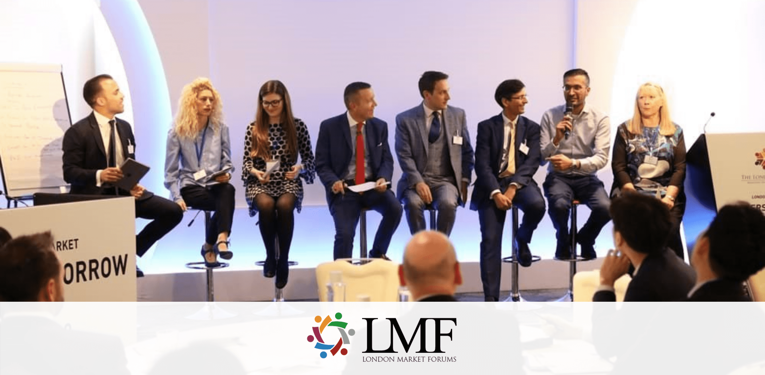
Geospatial Insight was delighted to sponsor the London Market Forums 3-day Technology and Innovation Summit late last year and to have the opportunity to share our experiences with the Market. Thanks to the incredible advances in Artificial Intelligence and earth observation technology, insurers and reinsurers have been able to boost their underwriting performance, accelerate their claims settlement processes and in turn create a competitive edge, at a time when service differentiation is more important than ever.
Above us is more than sky
Getting to understand the needs of and value provided by the insurance industry to business, Government, and society, has been a valuable learning experience and a prime example of how working partnerships between the Market and subject matter experts are making a tangible difference.
I learn something new every day about how advances in geospatial technology can add real value to the insurance market, from monitoring catastrophic weather events and anonymised mobile/transactional data (to validate BI claims) to predicting the movement and stability of some of the most important infrastructure around the world, such as dams, industrial complexes and transport routes.
We have more intelligence resources at our fingertips than ever before and, it’s just the start.
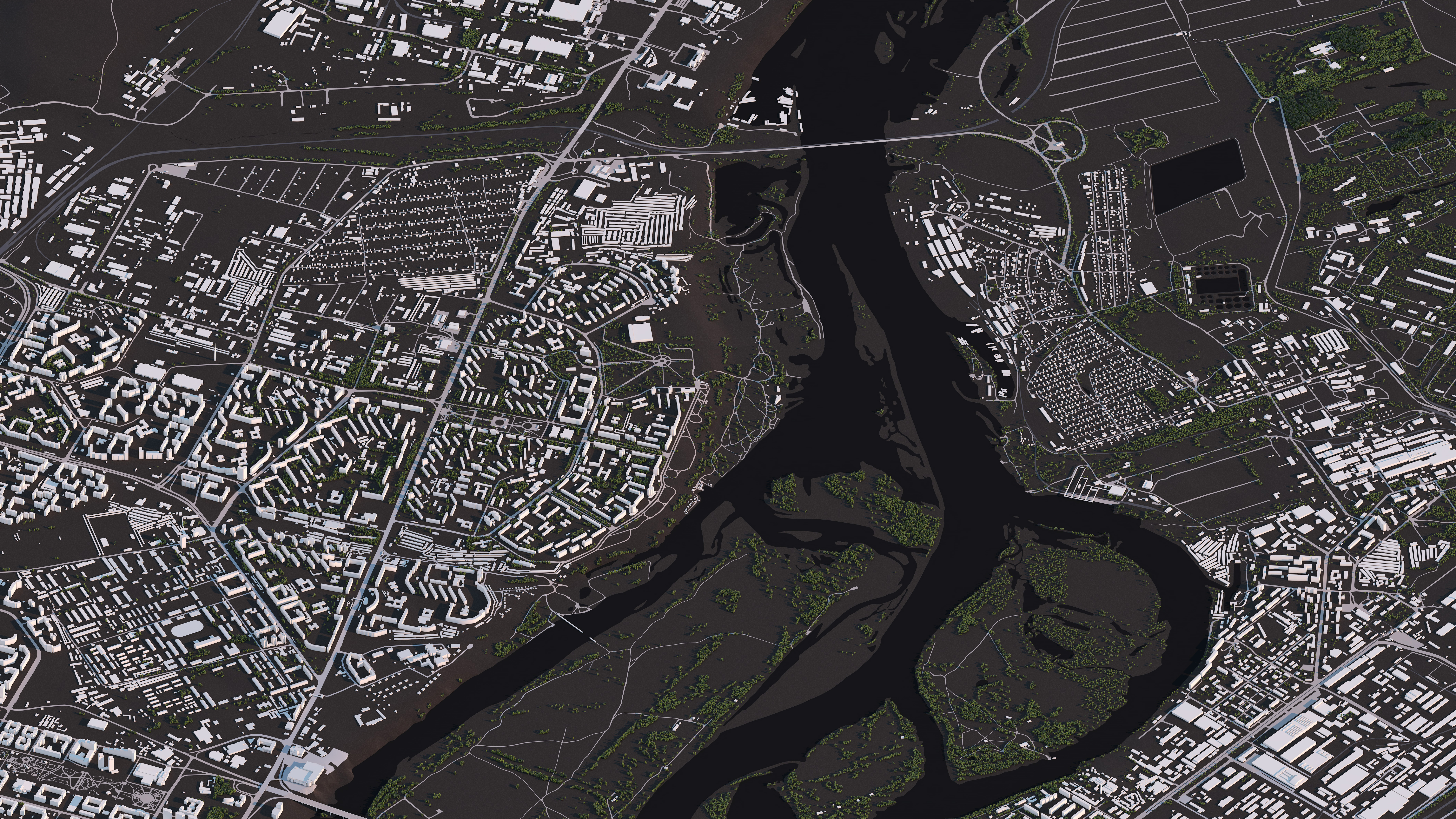
I never cease to be amazed how the automated extraction of granular property data and damage evidence from spatial imagery, supported by access to over 400 orbiting satellites (with many more in the pipeline), alongside an international aerial and drone network, help organisations in the Market deliver an effective and timely service to their international client base. Brokers, primary carriers, reinsurers, and loss adjusters are all benefiting from the insights that geospatial data provide.

Being prepared for the unexpected
We can all think of scenarios following a claim where site access to assess damage is needed quickly - but restricted, and this is where remote geospatial surveillance is proving to be an invaluable asset.
The last 12 months has seen unprecedented catastrophes and travel restrictions, but we can now launch a drone within a few hours following an incident, as we did in the immediate aftermath of the horrific Beirut port explosion in Lebanon, providing insurers in London and around the world with a near real-time data feed to facilitate rapid desktop triage and enabling local agents to support their clients that were most in need.
The use of these rapid response services deriving timely evidence is just as applicable here in the UK as it is globally. As you may recall, last year Storm Dennis (one of the most intense Atlantic depressions ever recorded) hit the UK just one week after Storm Ciara. With the ground still saturated, river levels extremely high, and the previous flooding only just beginning to subside, further heavy rainfall caused many rivers to reach record levels prompting the Environment Agency to declare 10 severe flood warnings along the rivers Severn, Wye, and Lugg, as well as more than 180 warnings across the rest of the UK.
Although the extent of the catastrophe spanned large areas of the UK, by using AI algorithms to automatically create essential building features and scrape real-time social newsfeeds, Geospatial Insight’s expert (RE)ACT response team predicted which areas of the UK were most at risk from extreme flooding.
One of the high-risk areas was Shrewsbury. On February 25th 2020, the River Severn burst its banks and the peak flood was forecast for 4pm. A drone was deployed to capture the peak flood, but the early winter sunset threatened to cut short the completion of the data capture. Faced with a new challenge of how to gather essential information without daylight, our drone team switched to capturing thermal imagery, providing a detailed picture of the maximum flood extent impacting the dense urban landscape.
Using this flood footprint in conjunction with other data sources, we carefully calculated the peak flood depth across the affected areas and delivered individual building damage analytics within hours of the identification of flood risk to property in Shrewsbury.
Over 860 properties from the portfolios of our clients were affected by Storm Dennis, but the rapid damage triage that the (RE)ACT service enabled, allowed accurate reserving, and led to quicker claims settlement, reduced operational cost and one hopes, better client retention as a result. We all remember how our insurers respond at the precise time we need them the most.
The big challenge – how and who?
Despite all the positives, there are some challenges ahead. The big question on the mind of the insurance market is “how” and “who”?
With this explosion of data, comes the difficulty of how to manage, interpret and store this information, as well as monetise it. The insurance market continues to face challenges with depreciated IT infrastructure and the mountains of legacy data it holds, and now it’s faced with a barrage of new and highly valuable intelligence that can help companies gain competitive advantage.
The other big challenge is around interpretation and this is where we believe the industry faces a real struggle. The availability of data experts is a problem for all sectors and insurance is no exception. We simply don’t have enough of them. Several insurance firms are trying to tackle this problem, including partnering with Universities to ensure a steady stream of data savvy graduates into the Market. Only time will tell if the talent pool deepens enough to satisfy this growing need.
Staying in touch in a fast moving world
There is no doubt we live in interesting times and staying connected with the latest developments in the field of geospatial data, as well as technology and innovation is essential. We are delighted to be a supporter of LMForums and the work they undertake in the Market, helping professionals learn, network and build meaningful business relationships. We hope to see you at one of their sessions soon.
To find out more how (RE)ACT and other Geospatial Insight services can enhance your competitive edge contact us for a free consultation. Email hello@geospatial-insight.com for more details.

David has over 20 years geospatial data and 3D visualisation experience in many sectors including Land and Property, Mapping, Architectural design, Public sector, and Insurance. His focus is to understand what the critical challenges that Insurance professionals face today are and determine how geospatial data solutions with AI can be used to help resolve them.